Loading Report
Fetching GPS data and parcel records...
Should be just a moment
Map Area Report
North Star Group, Inc.
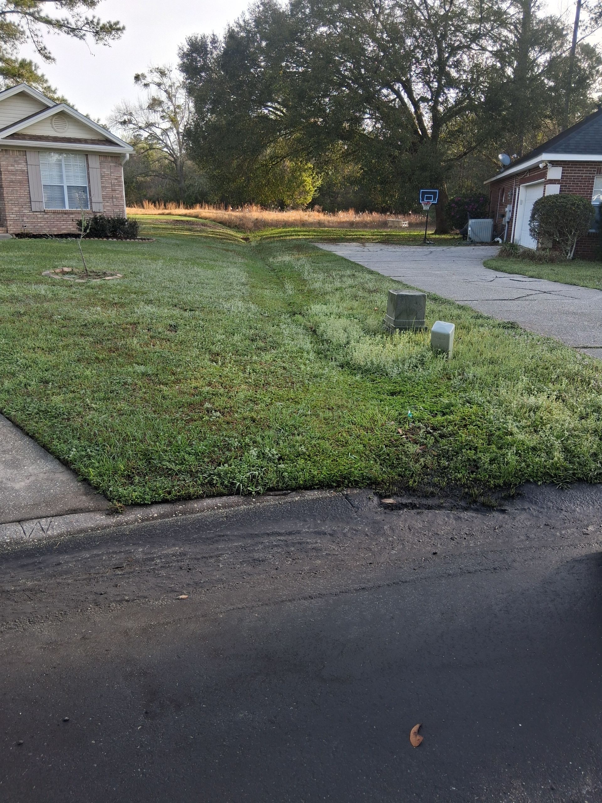
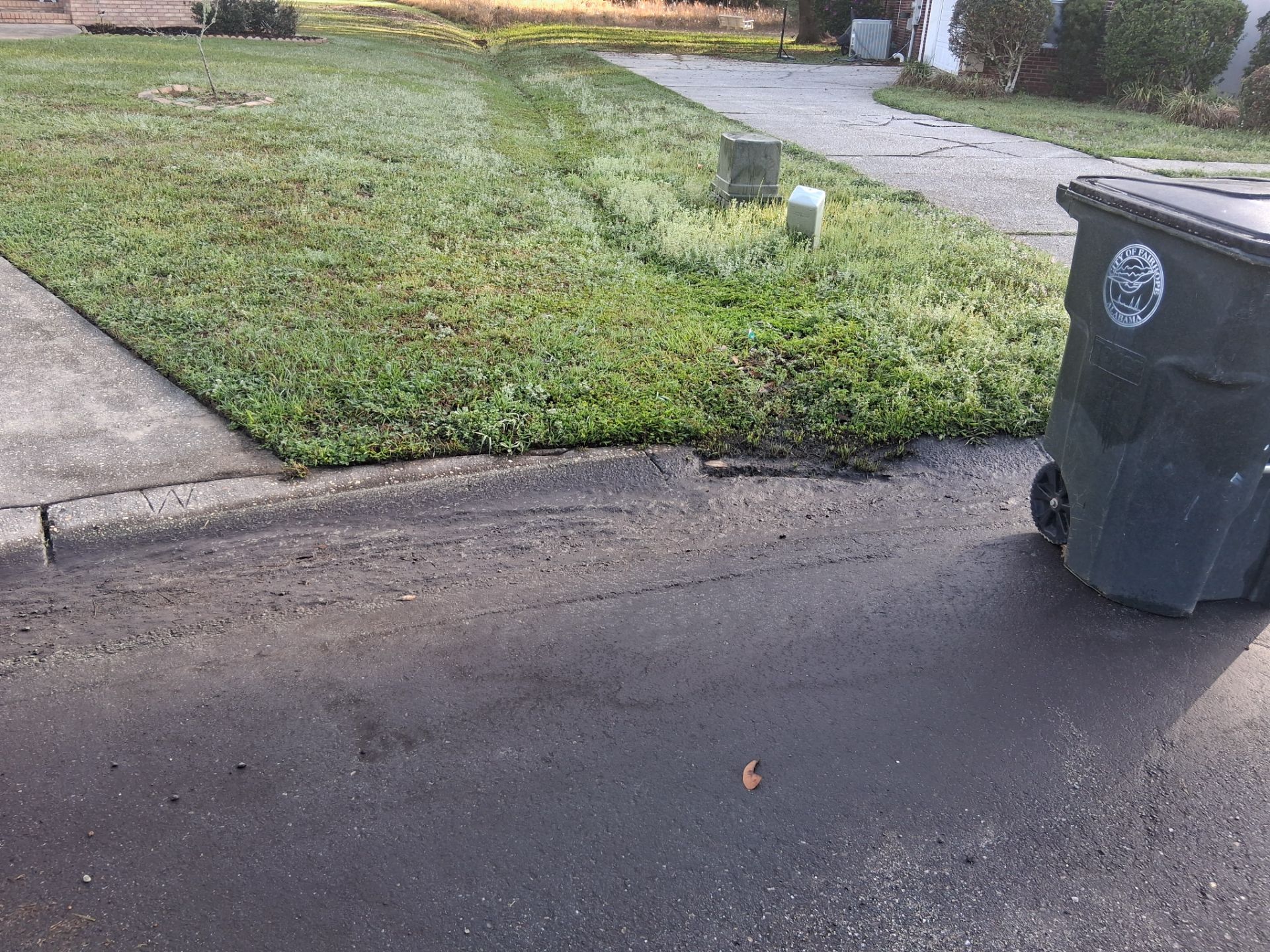
Floodarea
Map Area Overview
| Map ID | 240 |
| Name | Floodarea |
| Mapped Date | March 09, 2026 at 08:59 |
| Area | 200 m² (2153 ft²) |
| Dimensions | 13.9 m × 21.2 m (45.6 ft × 69.5 ft) |
| Mapper | Michael Hoffman |
| Photos | 4 captured |
| GPS Points | 55 recorded (~90 ft walking path) |
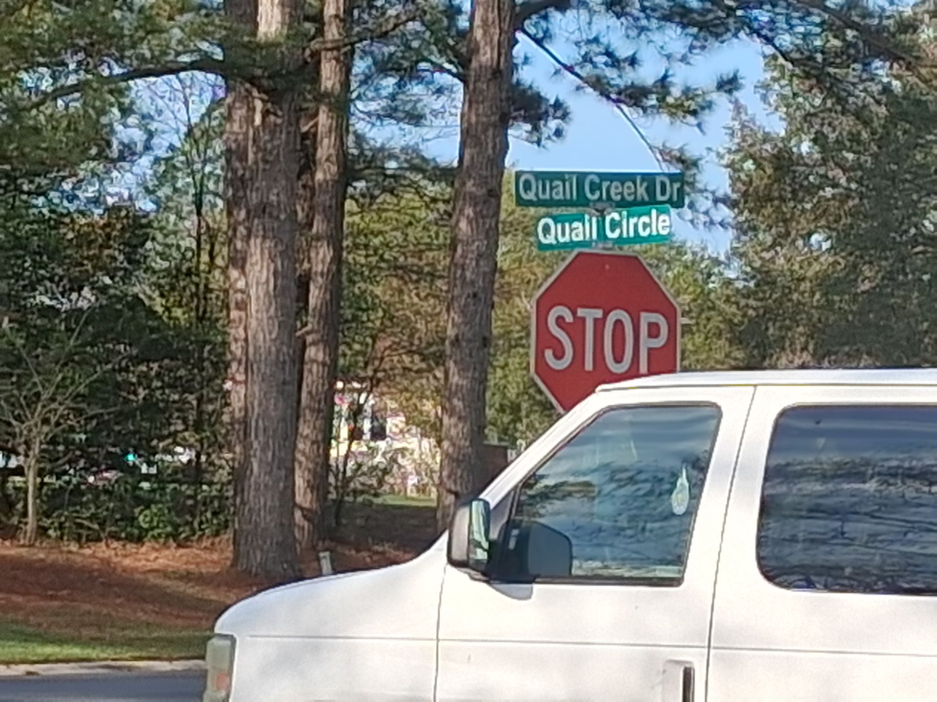
| Address | 19898 Quail Circle, Fairhope, AL |
| Personal Notes |
No personal notes added
|
| Location |
30.514499°N, -87.844904°W 📍 View on Google Maps → |
Map Area Data & Downloads
📊 Area Geometry (GeoJSON)
{"type": "Polygon", "coordinates": [[[-87.8449835511903, 30.51456102266842], [-87.84498359023806, 30.514561884533684], [-87.84498343804762, 30.51456213690674], [-87.84498340760953, 30.51456250738135], [-87.84498340152192, 30.51456258147627], [-87.84498340030439, 30.514562596295253], [-87.84498324006088, 30.51456083925905], [-87.84497616801218, 30.51455600785181], [-87.84496163360244, 30.514554801570362], [-87.84494120672048, 30.51455312031407], [-87.84491440134408, 30.51455278406281], [-87.84489768026882, 30.51455271681256], [-87.84488553605377, 30.51455062336251], [-87.84487286721077, 30.514548924672503], [-87.84485993344215, 30.5145457849345], [-87.84484791378982, 30.514543017044637], [-87.84484544490047, 30.51454244850791], [-87.8448449341823, 30.514542330899545], [-87.84484958482946, 30.5145430279412], [-87.84485177638942, 30.514543225685628], [-87.84485504592917, 30.51454328061221], [-87.84485887070787, 30.51453008581743], [-87.84486139177102, 30.51452671452829], [-87.84486176746518, 30.514525816721992], [-87.84486216987216, 30.514526333037225], [-87.84486227033663, 30.51453148022881], [-87.84486197775423, 30.514532680915597], [-87.84485668689535, 30.514532933729715], [-87.84484791617885, 30.51452372648141], [-87.84484030746518, 30.514511632019158], [-87.84483878225602, 30.51449409517658], [-87.8448384764512, 30.514478819035315], [-87.84484097529024, 30.514469603807065], [-87.84485027505805, 30.514457840761416], [-87.84485581501161, 30.51444956815228], [-87.84486220300232, 30.514438633630455], [-87.84486876060046, 30.51442788672609], [-87.84487111212009, 30.51441909734522], [-87.84487446242402, 30.514406219469045], [-87.8448807324848, 30.514393723893807], [-87.84488654649695, 30.514385464778762], [-87.84488962929939, 30.514374692955755], [-87.84489190766945, 30.51437281704277], [-87.84489422799719, 30.51437222317977], [-87.84491095476623, 30.51439999359347], [-87.84491717534101, 30.514413297587055], [-87.84493904093004, 30.514428710863857], [-87.84495478495697, 30.514443841407513], [-87.84495814125523, 30.514449223049425], [-87.84496154512797, 30.514459355313456], [-87.84496494590535, 30.514473058489926], [-87.84496562918108, 30.514488051697985], [-87.84496592583622, 30.514503450339596], [-87.84496598516725, 30.514518690067924], [-87.84496599703346, 30.514530218013586], [-87.8449835511903, 30.51456102266842]]]}
📄
GeoJSON
Web mapping standard
🌍
KML
Google Earth Pro
🗺️
Shapefile
ArcGIS / QGIS
🔧
QGIS Package
QGZ with photos
📸
Photos ZIP
All 4 images
📦
Full Package
All formats + photos
💡 For Community & Technical Use:
- QGIS users: Download "QGIS Package" - includes geometry + geotagged photos
- ArcGIS users: Download "Shapefile" for geometry + "Photos ZIP" separately
- Google Earth: Download "KML" and import to see area with satellite imagery
- Web apps: Use "GeoJSON" format for most web mapping applications
Interactive Map
Walked Area
Parcel Record
🔗 External Lookups
External links open in new tabs
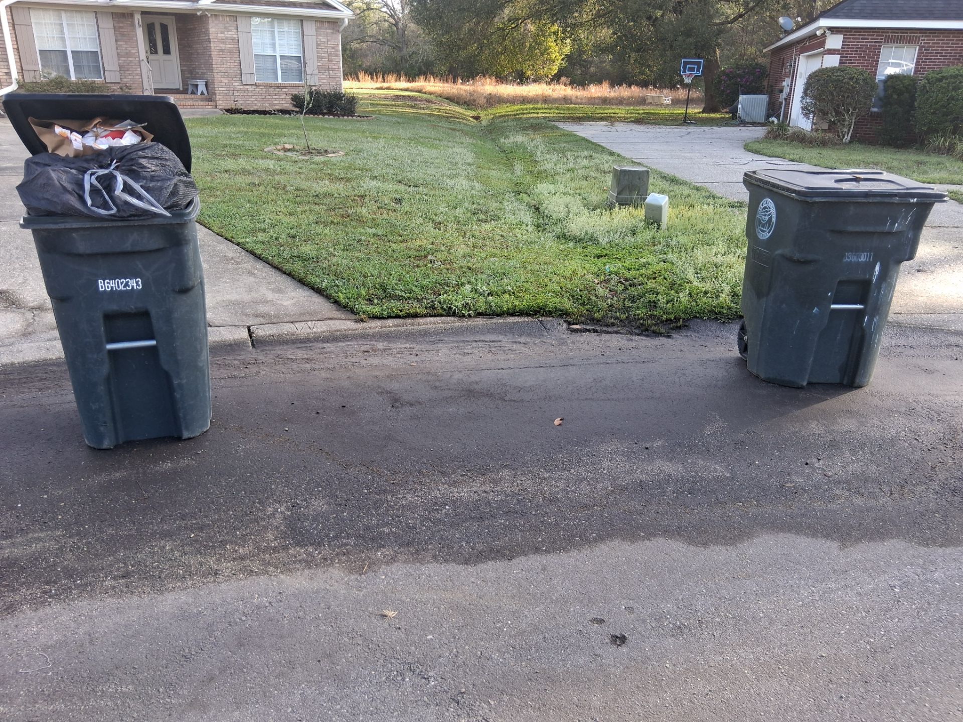
Site Photos (4)
Records — licenses, tags, products (2)